
Click on a slab to view fragments associated with it.
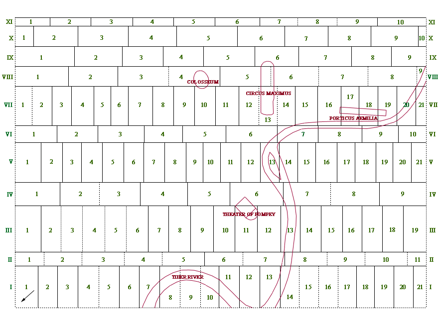
The Severan Marble Plan measured circa 18.22 m in width and 12.87 m in height. The relationship between the architecture depicted on the Map and the actual buildings on the ground is 1:240. To reduce or increase the proposed number of 150 slabs used for the Plan, or to change the sequence more easily, we have adapted a slightly different numbering system than the one recommended by E. Rodríguez-Almeida in Rodríguez-Almeida 1994a. For more information about the Map itself, refer to the Map page.